FROM SKY TO EARTH & UNDERGROUND
We Scan Through Every Obsticle
COMPREHENSIVE GEOSPATIAL SOLUTIONS
OUR COMPANY HAS MANY CHARACTERISTICS THAT MAKE IT THE IDEAL CHOICE FOR YOUR NEEDS IN THE FIELD OF SURVEYING AND GEOSPATIAL SERVICES. AT ALISTESHAAR, WE SPECIALIZE IN DELIVERING COMPREHENSIVE GEOSPATIAL SOLUTIONS THAT EMPOWER CLIENTS ACROSS VARIOUS SECTORS. OUR SERVICES ARE TAILORED TO MEET THE UNIQUE NEEDS OF OUR CLIENTS, LEVERAGING THE LATEST TECHNOLOGY AND OUR EXTENSIVE EXPERTISE TO ENSURE PRECISION, EFFICIENCY, AND EXCELLENCE IN EVERY PROJECT.
Our Advanced Solutions
Our Domains


Trusted Surveyors in the Kingdom of Saudi Arabia
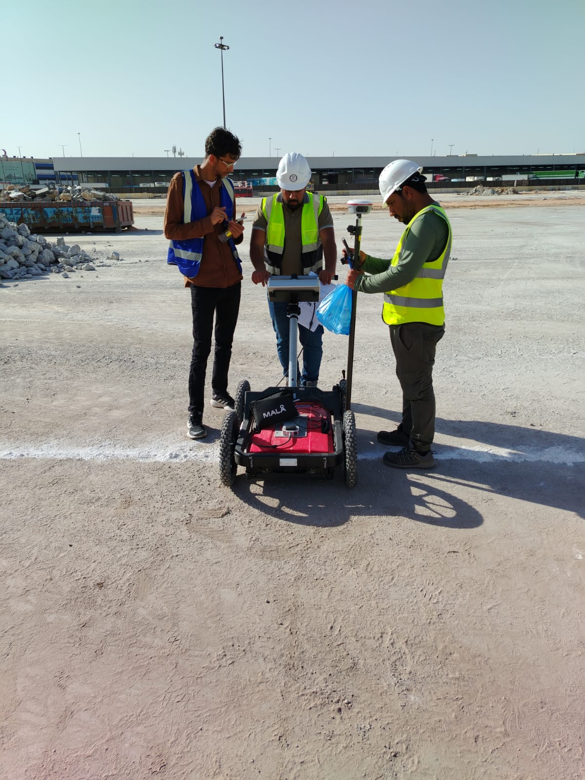
As an essential step in the development process, selecting a reliable and professional land surveyor for your Measured Survey needs is crucial. At Alisteshaar Geospatial Consultants, we bring years of expertise with a team of qualified and trusted Land & Measured Building Surveyors. Our comprehensive services include Measured Building Surveys, Scan to BIM Surveys, Topographic Surveys, Utility Surveys, Movement Monitoring, Setting Out, and AVR’s (Accurate Visual Representations ) to support commercial, industrial, and residential developments. With extensive coverage across Saudi Arabia.

Our topographical surveys provide a detailed and accurate representation of natural and man-made features within a specified area.

3D Laser Scanning
Our Clients