(GPR) Services Riyadh
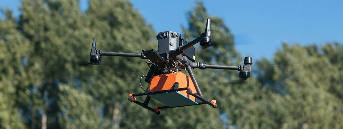
Alisteshaar Geospatial Consultancy offers cutting-edge GPR services using both aerial drones and high-precision Leica ground-based systems (Man-portable GPR unit). This dual-approach allows us to accurately detect and map subsurface infrastructure with unmatched efficiency and safety—no matter the terrain or environment.

Advanced GPR Technology
Sky to Surface
We Use
Our services leverage the latest GPR-mounted drones for quick, large-scale surveys and Leica push-cart systems for high-detail scans in confined, complex, or urban areas. This hybrid solution ensures optimal coverage, depth, and data clarity in every project.
Average Survey Speed
~5–10 km/h (depending on altitude & terrain) Up to 10,000 m²/hour
Ground-based GPR (Leica DSX,~1–2 km/h (walking speed) ~1,000–2,000 m²/hour. Precise & best for detailed or congested zones
how we do it !
we deploy both drone-mounted and ground-based GPR systems to adapt to every terrain—whether it’s open desert, busy urban streets, or remote industrial zones. This hybrid approach ensures accurate subsurface data collection, no matter the environment.

Alisteshaar Navigating Desert, Urban, and Remote Terrains Across the Kingdom
Drone-Based GPR

-
Ideal for: Open areas, deserts, remote pipelines, and large construction zones
-
Equipment: GPR-integrated UAVs (Unmanned Aerial Vehicles)
-
Benefits: Fast and wide-area coverage
-
Minimal disruption to ground activity
- Access to hard-to-reach or hazardous locations
Leica Ground-based GPR system

Ideal for: Urban roads, sidewalks, facilities, and small or detailed zones
Equipment:
Leica DSX and equivalent ground systems
Benefits: High-resolution, pinpoint accuracy
Live data visualisation
Suitable for congested or sensitive infrastructure zones.
What Subsurface Assets We Detect and Track
Our GPR services can detect and map a wide range of underground utilities and features, including:
-
Water pipelines
-
Railway Tracks
-
Electrical and communication cables
-
Gas lines
-
Sewage systems
-
Void detection (sinkholes, cavities)
-
Old infrastructure & archaeological elements
-
Underground tanks or storage
-
Rebar & post-tension cables in concrete slabs
Data You Get From Us
We deliver detailed, geo-referenced data outputs in multiple formats to integrate with your existing GIS, CAD, or BIM platforms:
| 2D/3D Subsurface Maps | Utility Location Reports | Depth and Material Type Analysis |
|---|---|---|
| Risk Zone Identification | Cross-Sectional Visuals | Full Survey Summary & Recommendations |
